How to Get Every USGS Topo Map in the US, For Free
Layer a seamless topo layer over Google Earth or visit the USGS Online Map Store.
In the US, the topographic maps produced by the US Geologic Survey (USGS) are some of the best, most detailed, and most useful for wilderness travel—especially if you’re headed off-trail or into seldom-trod regions.
But did you know that you can access nearly every USGS topo map ever made—and do it for free? There are two ways to do it:
Overlay a USGS topographic map layer on Google Earth, which allows you to seamlessly move across the topographic landscape at all zoom and map scale levels.
Cruise the USGS Map Store, which allows you to download nearly every topo map ever made for a given location, for free.
Here’s how to do both.
Add a USGS Topo layer to Google Earth
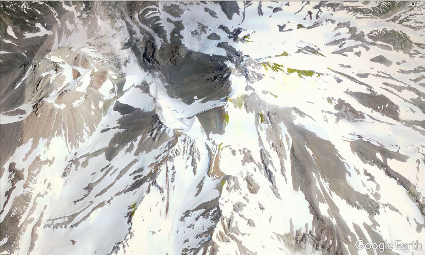
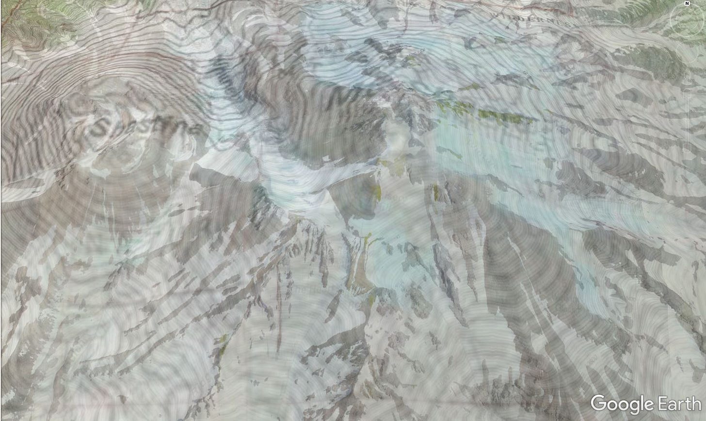
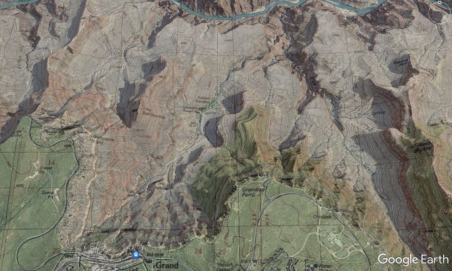
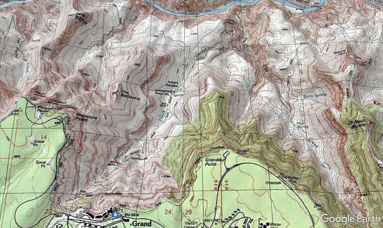
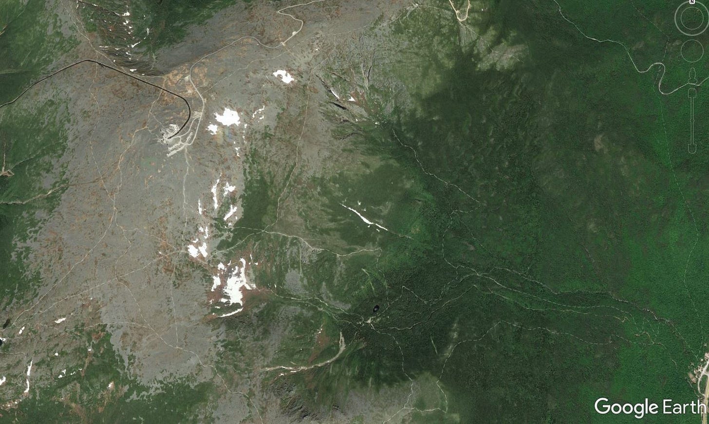
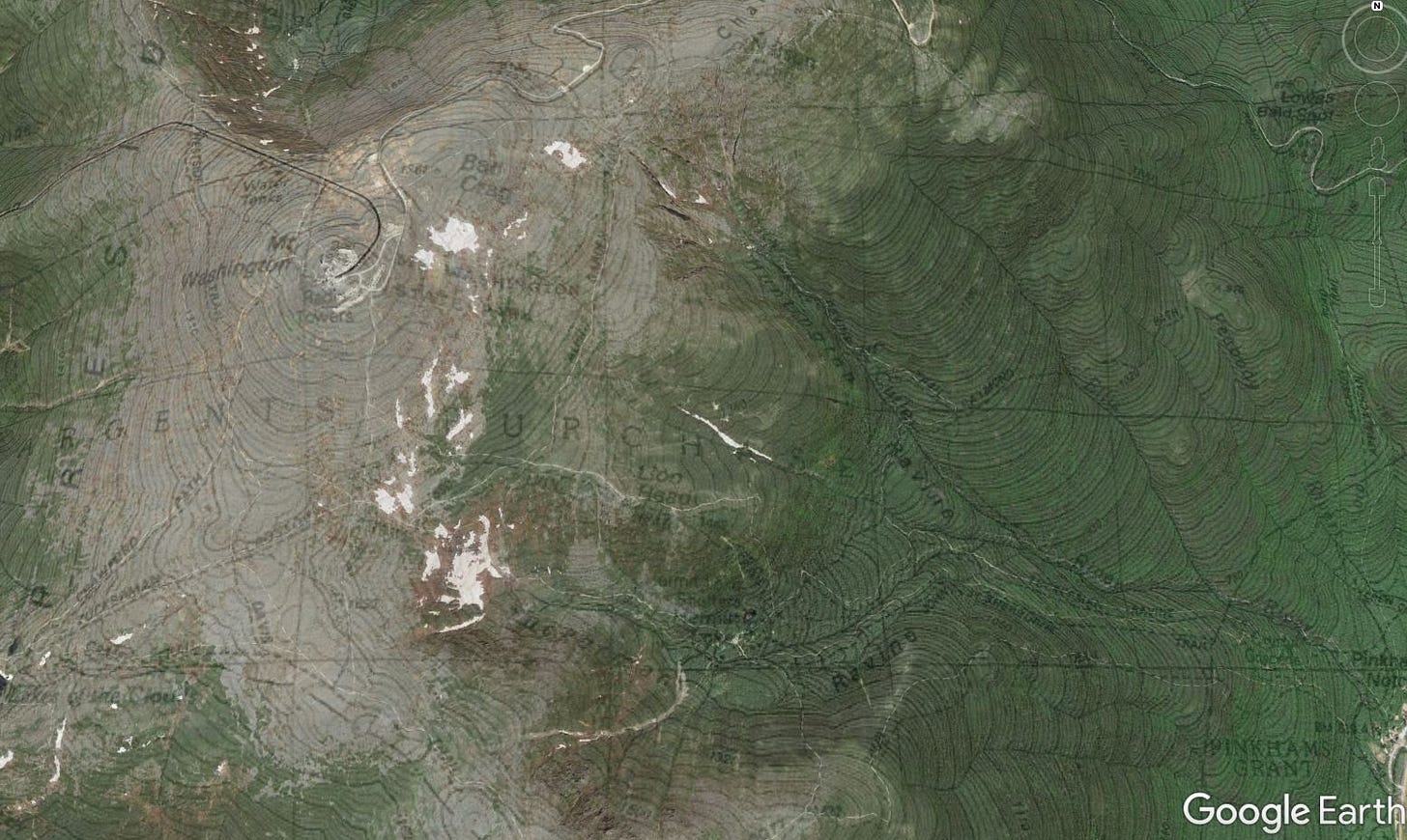
To demonstrate how cool this is, let’s take a Google Earth visit to Northern California’s Mount Shasta Wilderness and use a few screenshots to show what it looks like when you fade in the USGS topographic map layer over top of a satellite image.
Pretty cool, huh? Even more amazing, you can do this for every single location in the United States, including Alaska and Hawaii. Here’s how.
First you’ll need to download and install Google Earth Pro on your desktop or laptop computer. (Unfortunately the Google Earth apps for tablets and phones are not really set up for this functionality.) Hit the “Agree and Download” button, then open the downloaded .exe file to install Google Earth Pro on your desktop.
(If you have trouble with the above link, you can also try this set of direct download links; choose the most recent version, located at the top of the list.)
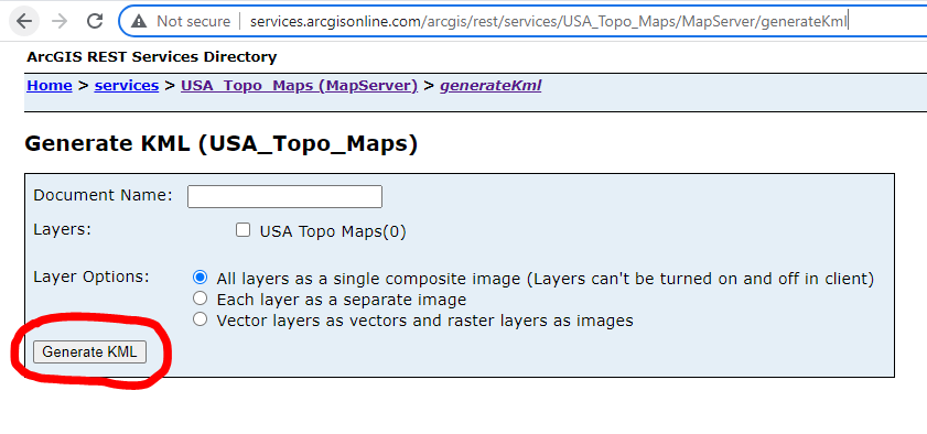
Once you’ve got Google Earth Pro installed, you’ll need to download the .kmz file for the USGS topo layer. To generate the file, click on the Generate KML button, circled below in red. You can name the file here before you download it if you want (otherwise the default is ‘Generate KML’). Leave the other default settings here as is. (For all the details on this map layer, here’s the USA_Topo_Maps page, part of the larger ArcGIS Services Directory)
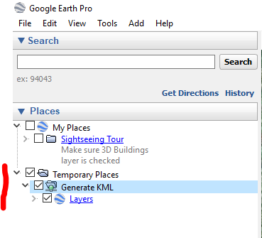
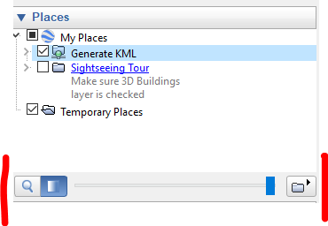
Click on the .kmz file once it downloads. It will open automatically in Google Earth and appear under your Temporary Places on the left hand side of your screen.
You’re ready to roll, but there’s one more thing to do: Move the layer to My Places or it will be discarded when you close Google Earth. Simply drag and drop it into place.
If you want to play with the transparency of the map layer (which is how I created the above images), click on the transparency button below the My Places list, to the right of the magnifying glass. Move the slider left or right to change the transparency. Note that you’ll need to have the topo layer selected for this to work.
Now get your map surfing on!
Find the topo map you need in the USGS Map Store
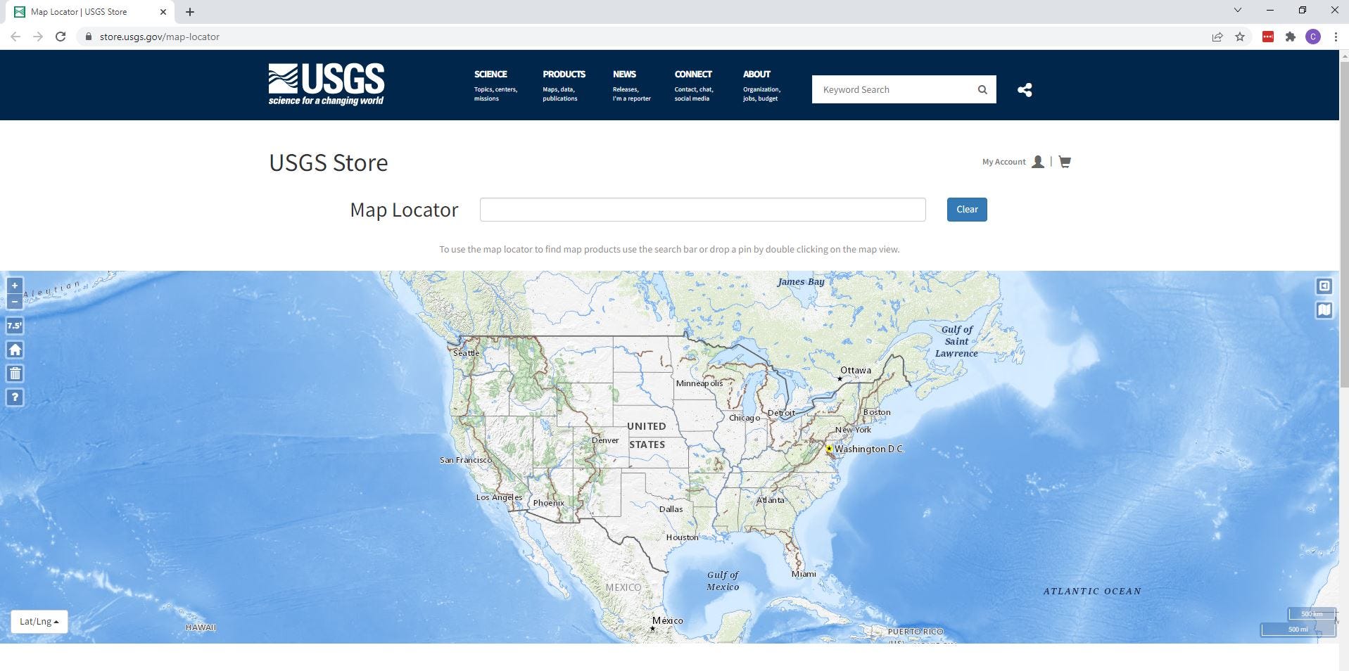
It’s easy for a map junkie like me to get sidetracked by the wealth of options available in the USGS online map store. But since we’re here for USGS topographic maps, the easiest way to get started is to go straight to the USGS Map Locator tool, which allows you to locate and download PDF files of individual topographic maps.
The locator map defaults to dead-center US in Kansas, so you’ll need to first zoom out by either clicking on the ‘home button’ in the upper left corner of the map (which instantly zooms out to show the 48 states, pictured below) or use the +/- zoom buttons in the upper left corner of the map.
Since we’re exploring Mount Shasta today, let’s next zoom on in to that location. (You can also search by place name in the search bar.)
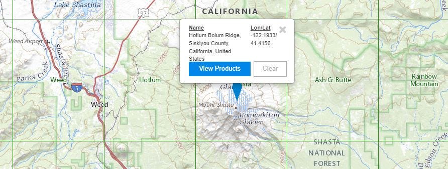
OK here we are in Northern California, with Mount Shasta centered. First, notice the green rectangular grid overlaid on the map. These are the 1:24,000 scale topo maps (a.k.a. 7.5’ maps) for the area, which provide the greatest amount of detail and are the most zoomed in. (If you’re interested in seeing the overlay of other smaller-scale maps—1:62,500, 1:250,000, etc.—click on the map scale button in the upper left corner to access the drop-down of available options.
Next you’ll want to double-click on the location you’re interested in, which will drop a blue map locator pin on that spot and bring up a pop-up window. Here I’ve clicked on a spot just north of Mount Shasta’s summit.
Next click on ‘View Products’ to bring up a list of every USGS topo map available within a 15-mile radius of the map location pin, including historical maps.
To view any of them for free, click on the ‘View PDF’ button for your desired map, which downloads them as a PDF file that you can save to your desktop. You can also just grab the download link by right-clicking on the ‘View PDF’ button and selecting ‘Copy link address.’
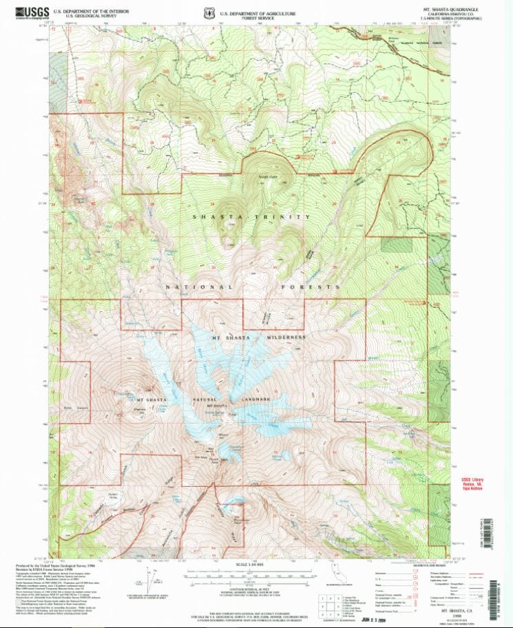
And so here’s the link for the 1998 Mt. Shasta, CA, 1:24,000 scale topo map, pictured below.
The US Topo Series: A few things to know about the most recent USGS topo maps
You’ll notice that the most recent topo maps listed (Geospatial PDFs) are markedly different from their predecessors. Part of the new US Topo Series, these maps have been created as PDFs with geospatial extensions (GeoPDF), which gives you the ability to turn on and off different layers (contour lines, place names, water features, etc.) for viewing, depending on what information you are interested in.
Unfortunately, trails are not currently included as one of these layers—a significant drawback for hiking—nor are they as strikingly beautiful and useful as the older versions of the maps.
Get your digital map dreaming and trip planning on
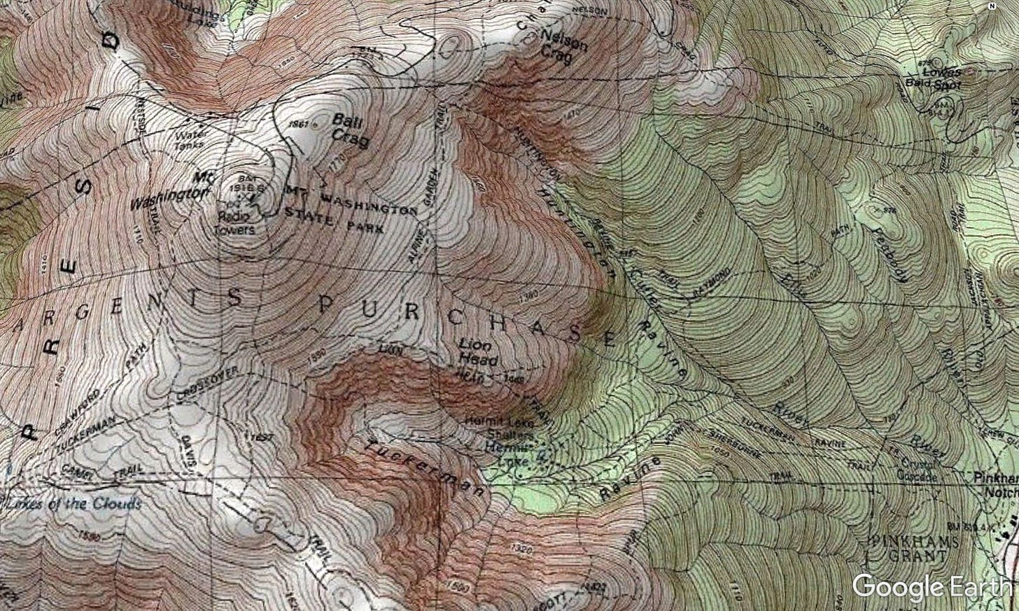
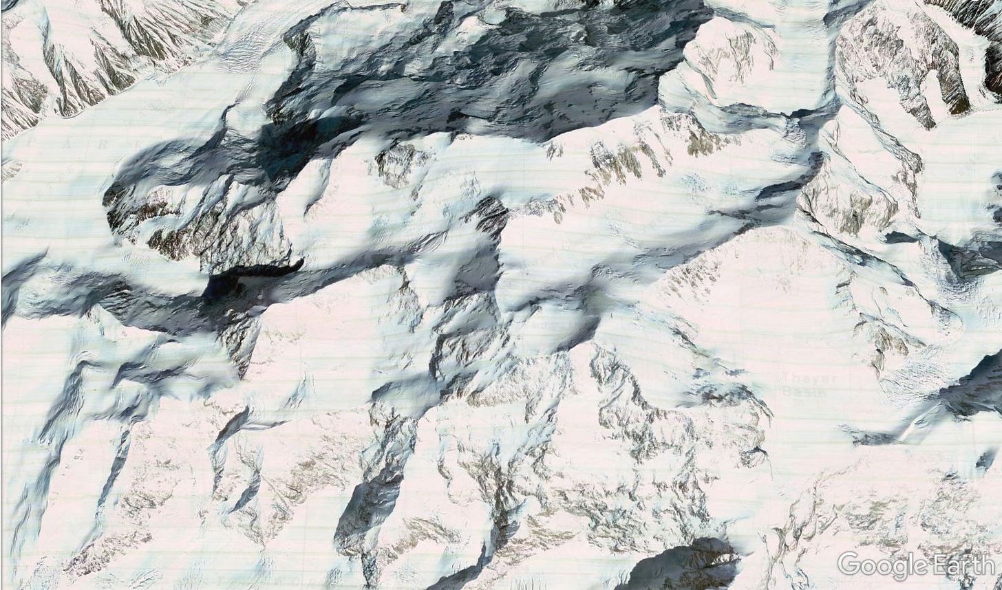
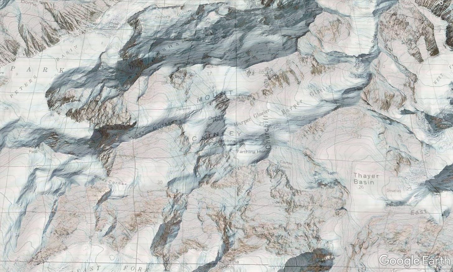
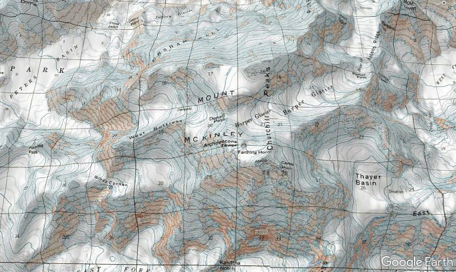
For some final inspiration, here are a few more awesome images of the Google Earth topo layer in action.

